ROSM: Running for Open-Sourced Maps
Run routes that help re-verify OpenStreetMap data.
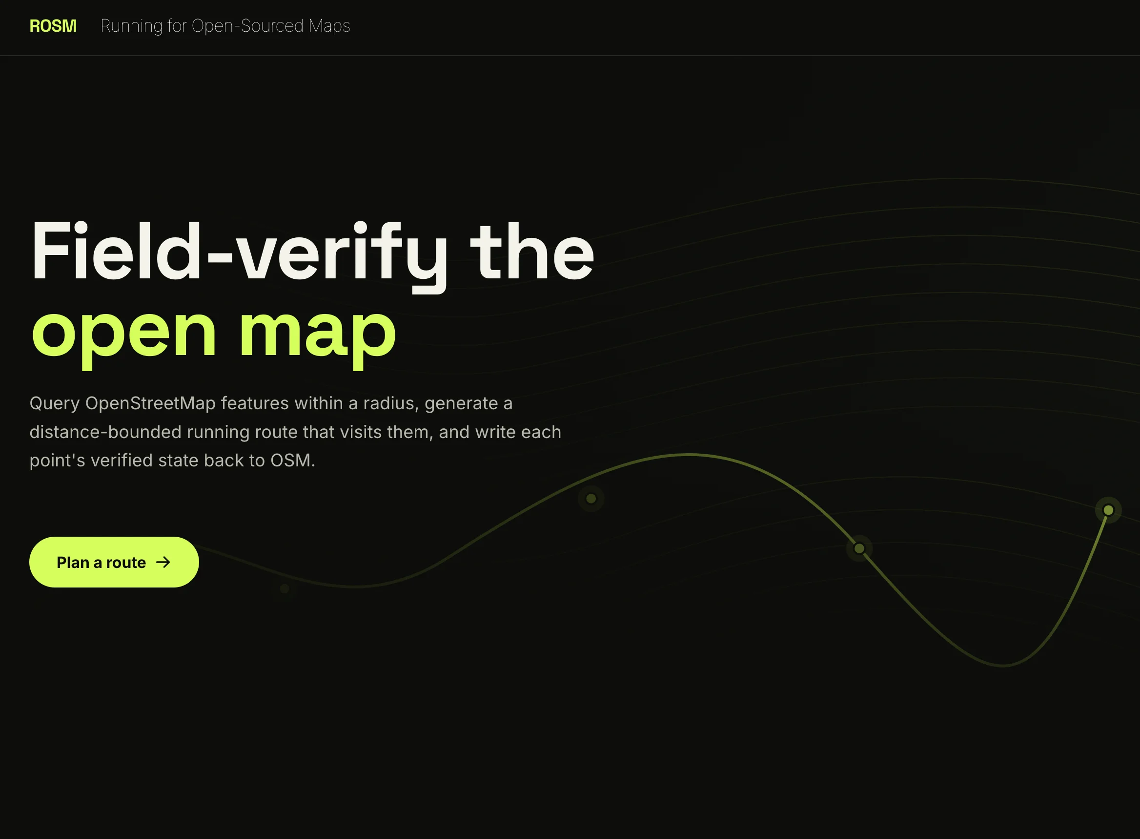
Put in the legwork for OpenStreetMap data: ROSM: Running for Open-Sourced Maps
OpenStreetMap (OSM), like all crowdsourced data projects, is vulnerable to the degradation of data quality if the crowd part of the sourcing begins to slow down. A while ago, I became interested in finding all the drinking fountains near me so I could beat this crazy DC heat. I quickly learned, however, that lots of the fountains in DC don't work. This, or as the winter approaches, some fountains are shut off while a few others are left working. OSM does not seem to be particularly well updated on the fountains-front.
I loved that OSM had begun solving my problem of finding the fountains—and no less that it was done in a way meant to be a single point of truth. Although I've seen some admirable projects on Reddit for crowdsourcing DC-drinking-fountain maps, since OSM is a mapping platform with a lot of great technical infrastructure in place, I decided to focus on making a contribution here.
I wanted to make myself a super easy way to "speed-run" re-verification, auditing which nodes still exist or function in the real world. ROSM closes that loop by querying OSM features within a radius via the Overpass API, computing a runnable route that visits a distance-bounded subset of them via a pedestrian routing engine (BRouter), and providing a mobile turn-toward-next-point guidance view that writes each point's verified state (check_date, disused:, abandoned:) back to OSM under a single changeset.